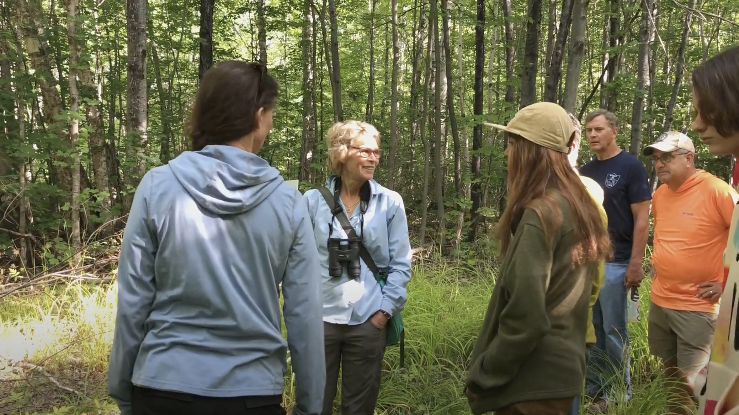
August Guided Hike — the North End Trails
/ MIWPLovely day for a hike on the North End Trails.
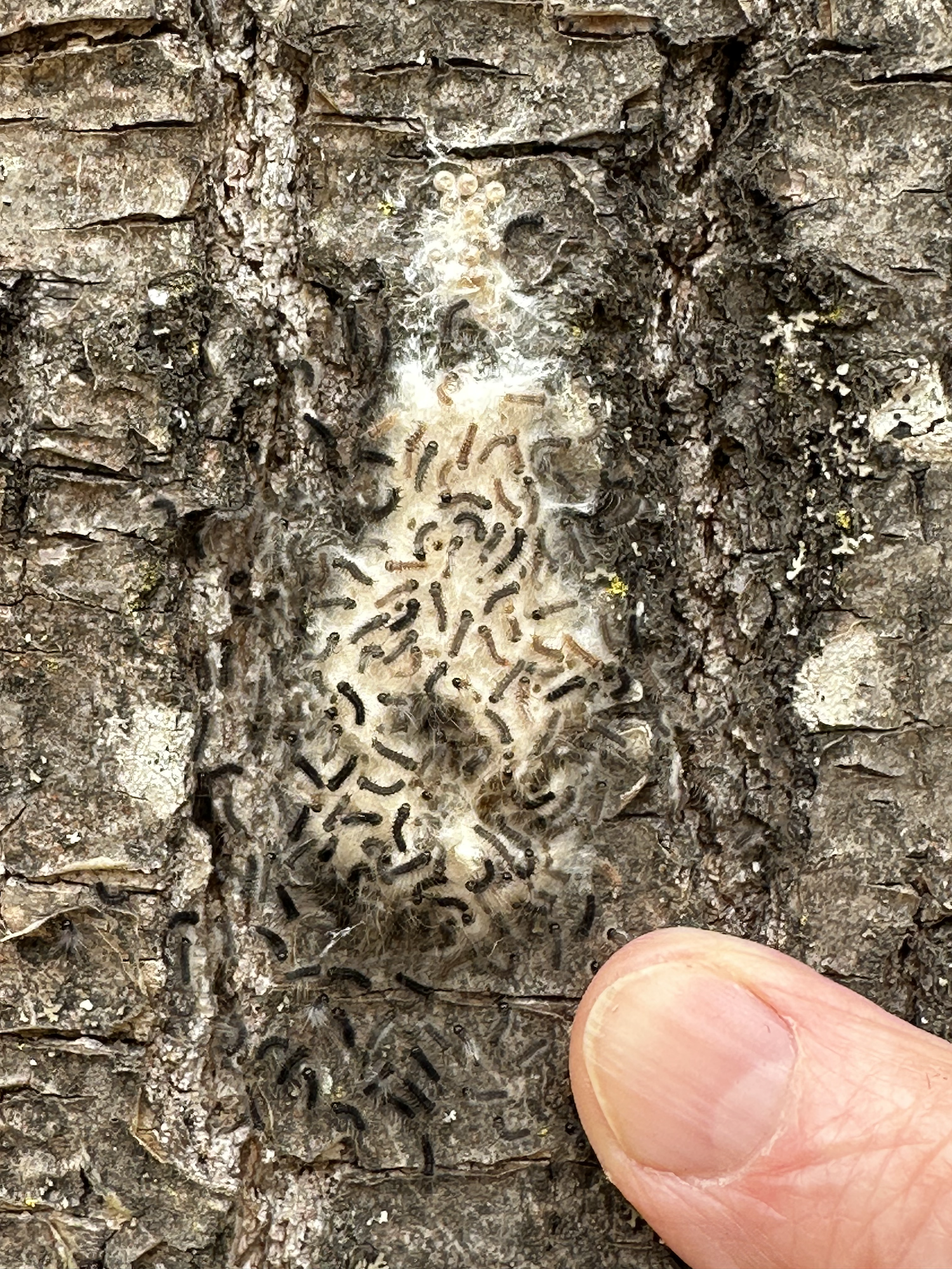
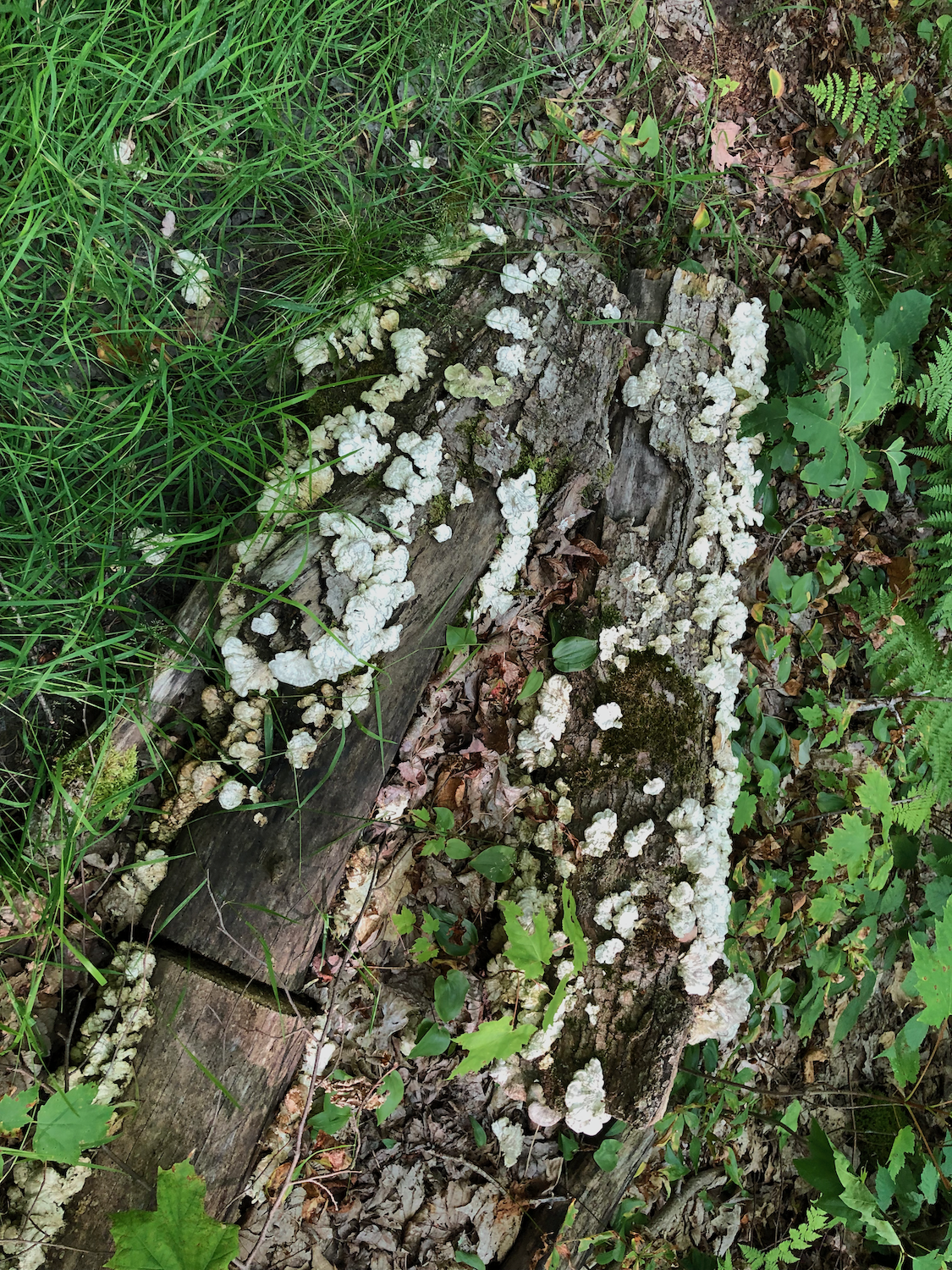
And we learned some things too!
Click an image to view enlarged slideshow…
View fullsize
![Our hike on AllTrails GPS app — started recording late...](https://images.squarespace-cdn.com/content/v1/5460eb46e4b0e58fabd84957/1629413550126-VO1G2K95RSPB2EOOC6YG/Our+Hike.png)
Our hike on AllTrails GPS app — started recording late...
View fullsize
![Our hike overlaying the North End Trails map on AllTrails](https://images.squarespace-cdn.com/content/v1/5460eb46e4b0e58fabd84957/1629413554429-6J3MD55B4S1VG1UG5KUS/Our+Hike+overlays+the+trail.png)
Our hike overlaying the North End Trails map on AllTrails
Videos
Click white arrow to play a video…
![](https://images.squarespace-cdn.com/content/v1/5460eb46e4b0e58fabd84957/1629415878884-0NW8H369YN6U2GHK5T8T/Hiking+to+Oconomowoc+Jct.png)
Hiking a section of the trail heading to Oconomowoc Junction.
![](https://images.squarespace-cdn.com/content/v1/5460eb46e4b0e58fabd84957/1629413437923-ANR79AOLPLKEM6FSOORB/A+GPS+can+help.png)
A GPS system with pre-downloaded map (like AllTrails) can be helpful — especially if you decide to visit the Blueberry Bog. No cellular service on the North End Trails!
![](https://images.squarespace-cdn.com/content/v1/5460eb46e4b0e58fabd84957/1629411531105-9XRHLOP3UBB49NHW23G6/Bonnie+explains+the+blue+markings.png)
MIWP Board Member/Guide Bonnie Matuseski explains some of the markings on the trail guide post maps.
![](https://images.squarespace-cdn.com/content/v1/5460eb46e4b0e58fabd84957/1629411846790-TIEWAF5LGAQUWZA76IV5/Buckthorn+program.png)
Bonnie talks about MIWP’s Buckthorn removal program on the island.
![](https://images.squarespace-cdn.com/content/v1/5460eb46e4b0e58fabd84957/1629414824585-U73HTHSB1BJMN1GC43NU/Bonnies+favorite+trail+hike.png)
Bonnie talks about the new trail signs being made, and points out her favorite section of the trail.